

InfraTerra provides a wide range of Engineering geology and geotechnical services for siting, development, construction, and assessment/stabilization of new and existing facilities. Our active involvement in research allows us to apply technically advanced methods of analysis to solve difficult geologic and geotechnical problems for our clients. We apply advanced data collection and analyses techniques to define risk, and work closely with owners and designers to manage and mitigate geologic hazard or geotechnical constraints. InfraTerra personnel have performed studies for developers, architects, engineers, government agencies, electric and gas utilities, municipalities, insurance companies, attorneys, and private owners.
Our personnel expertise, active research efforts, and past consulting projects include:
- Facility siting and routing assessments
- Fault rupture setback assessments
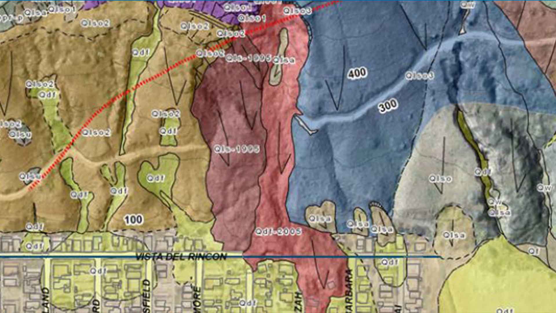
- Landslide stabilization and drainage characterization
- Deep marine geohazards assessment
- Pipeline directional boring and fault crossings
- Foundation design and stabilization recommendations
- Site preparation and grading recommendations
- Liquefaction assessment and mitigation recommendations
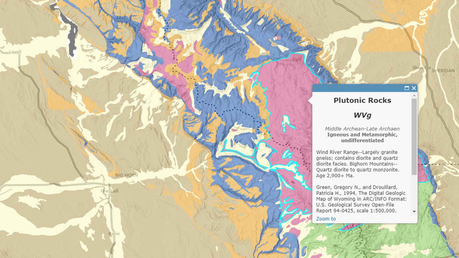
We have conducted engineering geology studies in diverse geologic settings, from complex mountainous terrains (e.g., the Rocky Mountains, Andes, and Himalayas) to coastal and riverine environments (e.g., Gulf Coast, Pacific Northwest, and Southeast Asia). These projects have often involved addressing slope stability, foundation conditions, and geologic hazards, with many requiring compliance with regulatory standards and environmental guidelines.